*This difference is largely due to the fact that several exits off the NIV as it bypasses Los Palacios y Villafranca can only be taken when travelling from the north so if you want to take the SE 9020 to Brazo de Este when arriving from the south you either have to overshoot and reverse direction at Exit 565 or cut through the town (both take roughly the same amount of time but the latter is less of a hassle).
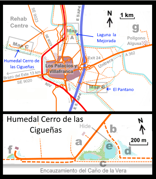
As can be seen from the above Humedal Cerro de las Cigueñas is tucked away a few km north-west of Los Palacios y Villafranca. This former landfill has been taken over (as has El Pantano) by the local authority and made into a small reserve. Peering at GoogleEarth it appears that the site consists of two small pools surrounded by reeds/sedges and rough grazing. Checking on eBird (see https://ebird.org/hotspot/L7331439) - I note that 131 species have been reported from here which is very creditable since only 56 checklists have been submitted (including several by a local professional tour guide which indicates the site's potential).
Not surprisingly, this site attracts many of the same species of the other two locations (albeit in smaller numbers). These species include Purple Swamphen, various herons, waders, Savi's Warbler, various exotics and the occasional small crake but for a full list again check eBird. The small size of this wetland should make it relatively easy to view aided by the fact that it's bounded by a road (a) to the west, a track to the east (b) and the levee along the Encauzamiento del Cano del la Vera to the south (c). It seems from Google Streetview that the fields just to the east of the track may sometimes be flooded to form a shallow body of water (d) which should be worth a look when present. Photos online (and a signpost to this site) show that there's even a small hide or Observatorio here (e) although it looks like it's in a poor state of repair. Further along the road there’s a second much smaller marsh (f) and judging from various sources more flooded fields. Some photos show this to be a pleasant bird-friendly pool but on Google StreetView it looks more like an unofficial landfill/dumping site but it may be worth a look or best ignored (although birds don't necessarily share our aesthetic prejudices). Like the Humedal El Pantano (and perhaps more so), Humedal Cerro de las Cigueñas is liable to dry out in the summer so a visit outside that period is likely to show this site at its best.
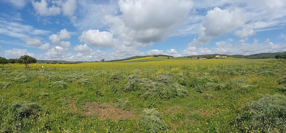
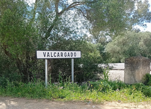
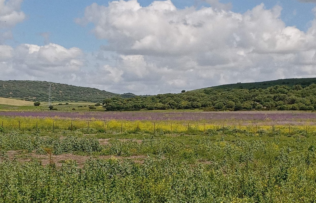
As I've not managed to visit this site all the photos below have been culled from Google StreetView or the odd photo available online (I trust that neither Google nor any of the photographers object to my using their images!). Hopefully, they give some idea of what the site is like.
As I needed to redraft my maps of this area to cover this site, I have also added details, both in my notes and on the map, of an area near Los Palacios y Villafranca that eBird shows still has Rufous Bushchats (in 2022 at least). Take the A 362 towards Utrera for c5 km from the AP4/E5 until you reach a small industrial estate (Poligono Algusa) on the left. Turn left (take care!) to take the track that runs along the eastern edge of the poligono (signposted Hac. La Indiana). Explore the tracks 1-2 km along this track (g). Looking at GoogleEarth, it appears that this is another area with low-intensity farming on small holdings which the Rufous Bushchat favours. (NB - as this is a rare and declining species playback should not be used to attract the species).

 RSS Feed
